MH370: Satellite firm worked out plane's flight path using Doppler effect
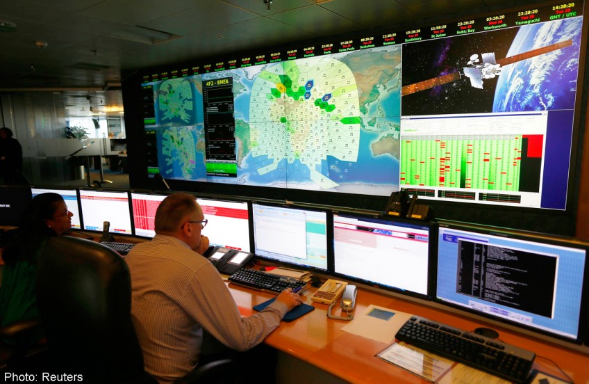
Investigators looking into the disappearance of Malaysia Airlines Flight MH370 described on Tuesday how British satellite company Inmarsat worked out where the plane could have gone.
Initially, Inmarsat used communications between the aircraft and ground stations via satellite to work out two arcs of the plane's possible positions: the northern and southern corridors.
Inmarsat told Britain's Air Accidents Investigation Branch about the possibility of calculating these flight paths on March 13, five days after the plane disappeared.
In recent days, the satellite company developed a second technique to estimate where the plane was flying. Using a phenomenon called the Doppler effect, it considers the plane's velocity relative to the satellite.
This is the Doppler effect: When a race car moves towards a stationary observer, its roar sounds more high-pitched although the actual pitch has not changed.
The reason: As the car moves closer to the observer, sound waves bunch up to a shorter wavelength, and therefore appear to have a higher frequency and pitch. The reverse happens when the car moves away.
So, as MH370 moved away from the satellite while transmitting its signal to the ground station via the satellite, the frequency actually measured would be lower than what it should be.
This difference is called a burst frequency offset. It changes, depending on the plane's location on an arc of possible positions, direction of travel, and speed.
Inmarsat tracked the changes and worked out a possible flight path for MH370, based on the jet's last known position and an assumed speed.
This estimated flight path fit the southern corridor, towards the southern Indian Ocean, better than the northern one.
To validate the result, Inmarsat compared the estimated path with the same data of other B777s flying on the same day.
The findings were then passed to other satellite firms to check before they were released.
On Tuesday, Malaysia's Acting Transport Minister Hishammuddin Hussein said in a statement that depending on the ground speed of the aircraft, "it was then possible to estimate positions at 0011UTC (8.11am Singapore time)".
That was the time at which the last complete communication with the ground station took place. Technically, that is called the last "handshake".
But, he stressed, it was not the plane's final position. There were signs of a partial "handshake" at 8.19am Singapore time and this is being investigated, he added.
He also said that when the ground station next tried to get in touch with the plane, there was no response, suggesting it had gone down.
Associate Professor Low Kay Soon, the director of Nanyang Technological University's Satellite Research Centre, said the area for the search has been reduced significantly. "Without Inmarsat's analysis, it would have been almost impossible to know where the plane went to," he added.
caiwj@sph.com.sg
![]()
Get a copy of The Straits Times or go to straitstimes.com for more stories.
[[nid:95587]]