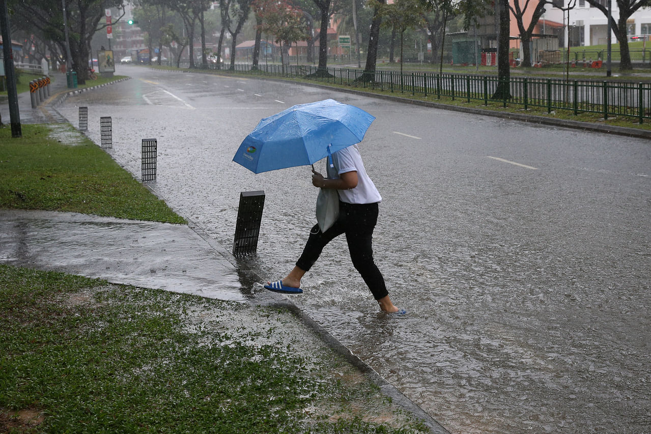
Wettest August in Singapore in over 40 years: MSS

Vehicles stalled in flood waters at the junction of Pasir Ris Drive 12 and Tampines Avenue 10 on Aug 20, 2021.
PHOTO: The Straits Times file
SINGAPORE -The Republic has experienced its wettest August in more than 40 years, said the Meteorological Service Singapore (MSS) on Wednesday (Sept 1).
“Based on the rainfall averaged over long-term stations islandwide, August 2021 is the wettest August since 1980, with a monthly total rainfall of 426.2mm,” said the weatherman.
The previous record-highest August rainfall was recorded in 1996, at 346.6mm.
The Changi climate station also recorded a total of 24 rain days in August, well above the long-term average of 14 days for August.
The MSS said that on Aug 24, a few spells of widespread moderate to heavy thundery showers fell over the island in the pre-dawn hours and morning, followed by light to moderate rain in the afternoon. The highest daily total rainfall recorded that day was 247.2mm at Mandai.
[[nid:541213]]
Flash floods had occurred on that day in some parts of Singapore, including Upper Bukit Timah and Dunearn Road.
This was the highest daily total rainfall for August, surpassing the previous record highest daily rainfall of 181.8mm at Changi on Aug 22, 1983.
The MSS said that the wet weather can be attributed to the influence of the negative phase of the weather phenomenon Indian Ocean Dipole - the convergence of surrounding winds - and the eastward spread of rain clouds and rainfall over the equatorial region.
The daily maximum temperature in August was below 34 deg C on most days, with the lowest daily minimum temperature of 21.3 deg C recorded at Newton on Aug 24.
The heavy rain is expected to ease over the next two weeks, however, with the chance of a few warmer days than have been seen in recent weeks, said the MSS.
But short-duration thundery showers are forecast between the morning and early afternoon over parts of Singapore on most days, said the weatherman.
On a few days, Sumatra squalls - a line of thunderstorms - could lead to widespread thundery showers with occasional gusty winds between the early and pre-dawn hours, as they move eastward towards the South China Sea.
On one or two days, widespread moderate to heavy thundery showers can be expected as a result of prevailing winds in the region converging over Singapore and the surrounding region.
The total rainfall for the first half of September is forecast to be above average over most parts of the island.
The MSS said that the daily temperature on most days is expected to range between 24 deg C and 33 deg C. On one or two rainy days, the daily minimum temperature may dip to around 22 deg C.
In the latter half of the fortnight, the daily maximum temperature could reach a high of around 34 deg C on a few days.
On some nights, warm and humid conditions can be expected when prevailing winds from the south-east or south blow air from the sea. The minimum night-time temperatures may reach around 28 deg C, particularly over the south-eastern parts of the island.
ALSO READ: 'Will I need to swim downtown?' Netizens on flash floods in Bukit Timah
This article was first published in The Straits Times. Permission required for reproduction.